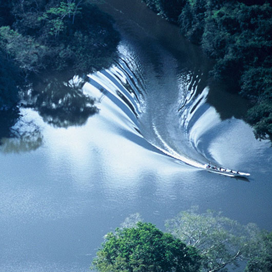
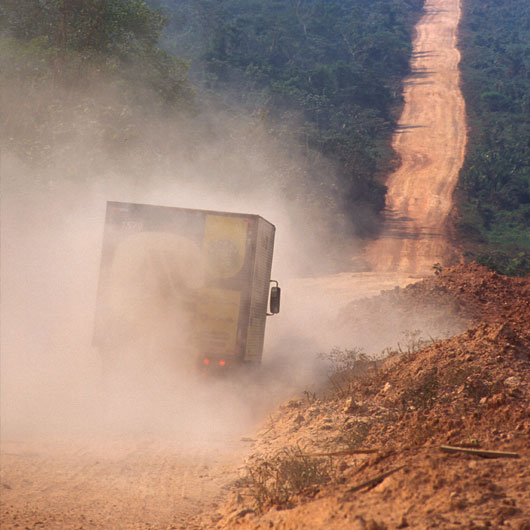
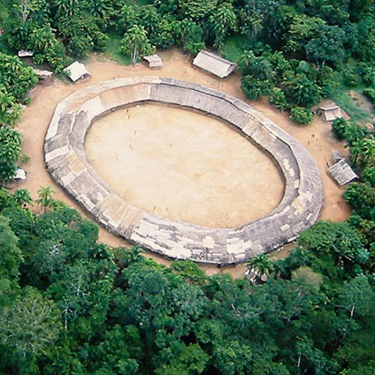
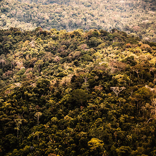
Protected natural areas and indigenous territories make up 45% of Amazonia and constitute the best preserved portion of the region. RAISG publishes data and studies developed by means of protocols common to all Amazon countries in order to supersede fragmented visions in favour of integrated initiatives and processes that contribute to the consolidation of protected areas and indigenous territories.
AMAZONIA: Stable forest 1985-2022 PROTECTED NATURAL AREAS and INDIGENOUS TERRITORIES Amazonia 2023: Protected Natural Areas, Indigenous Territories – Stable Forest 1985-2022 updates the information on these management figures in the Amazonian region and includes data on the forests that remained stable between 1985 and 2022 for the first time. With this series of publications, prepared by the Amazonian Network of Georeferenced…
The AMAZONIA UNDER FIRE map is the outcome of an analysis of the areas affected by burns and wildfires throughout the years 2019, 2020, and 2021. As a result of this collaborative work, the Amazonian Network of Geo-referenced Socio-environmental Information (RAISG), describes the dimensions of wildfires under a regional and national approach, with a special…
The Amazonia 2021 map shows updated information on Protected Natural Areas (PNA), Indigenous Territories (IT) and deforestation analysed in detail for the period 2001-2020. The principal objective of this series of publications of the Amazonian Network of Georeferenced Socio-Environmental Information (RAISG) is to help overcome fragmented views of the Amazon region and to promote integrated…
Published since 2009 by the Amazonian Geo-referenced Socio-Environmental Information Network (RAISG), this new updated edition of the map Protected Natural Areas and Indigenous Territories in the Amazon includes Biosphere Reserves and Ramsar Sites, which are conservation tools that use ecosystem approaches within a sustainable development context. The Biosphere Reserves and the Ramsar Sites, as a…
The 2017 Amazon map presents information on Protected Areas, Indigenous Territories and deforestation produced by RAISG. This publication is the fifth version of this map that we have published since 2009, with updated data on Protected Areas and Indigenous Territories – which together cover 45.4% of the region and have an important role in conservation…
This dynamic analysis reveals the historical processes that led to the creation and institutionalization of Protected Areas and to the recognition of Indigenous Territories in the Amazon, since the first protected areas were created early in the 20th century. Currently, more than 45% of the vast territory of the Amazon is protected. The study also…
Map of indigenous territories and protected natural areas updated to Jun 2016 and showing accumulated deforestation to 2015. The reverse side contains thematic information and calculations.
Map of indigenous territories and protected natural areas updated to May 2015 and showing accumulated deforestation to 2013. The reverse side contains thematic information and calculations.
Map of indigenous territories and protected natural areas updated to February 2012 and showing accumulated deforestation to 2010. The reverse side contains thematic information and calculations.
This map presents a geographic information system based on an inclusive view of the region. The principal purpose of the publication is to contribute to overcoming fragmented visions and to support integrated local, national and transboundary initiatives and processes that help consolidate protected areas and indigenous territories as important components of the conservation and sustainable…


