
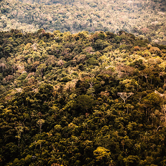
Map of indigenous territories and protected natural areas updated to February 2012 and showing accumulated deforestation to 2010. The reverse side contains thematic information and calculations.
Amazon Network of Georeferenced Socio-Environmental Information
For a holistic view of Amazonia
Ф
Map of indigenous territories and protected natural areas updated to February 2012 and showing accumulated deforestation to 2010. The reverse side contains thematic information and calculations.